The Vale of Glamorgan is the southernmost part of South Wales. Inhabited since the earliest times, it is rich in Neolithic monuments and other ancient sites. Many of these are today represented by churches built in the mediaeval period. To the south the Vale is bounded by the sea and to the north by the commencement of a series of hills, along the foot of which today runs the M4 motorway. To the east, the geographicVale (as opposed to the modern County Borough) is bounded by Cardiff and the river Taff; to the west it is bounded by the town of Bridgend and the river Ogmore. More or less in the geographic centre lies the market town of Cowbridge.
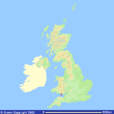
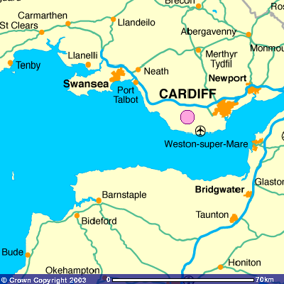
These maps show the Vale of Glamorgan’s location within the United Kingdom
Image reproduced with kind permission of Ordnance Survey and Ordnance Survey of Northern Ireland.
There is plenty of good agricultural land in the Vale, which is perhaps why it was settled so early, but this is not the Vale’s most distinctive feature. This is the way the ground rises from the sea to the mountains of the hinterland in a series of hills, each higher than the one before. The result is that from many of these hills there is a commanding view of the land to the south and to the sea beyond. The countryside lies before one almost like a map.
Sedimentary limestone cliffs form the coastline. These are subject to erosion by wind and tide – the tides in the Bristol Channel being the second highest in the world. From my research it is possible to deduce where erosion has been particularly marked and what the coastline of the Vale of Glamorgan might have looked like 6,000 years ago.
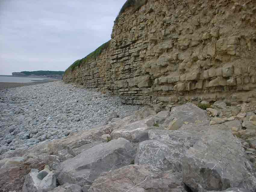
Sedimentary Limestone Cliffs at Llantwit Major, Vale of Glamorgan
The smaller rivers – the Col-Hugh and the Thaw – which are significant in terms of lanscape alignment and the position of the Tinkinswood Burial Cairn, exit into the sea through this coastline. They are shown in the sketch below.
Various sites that I have highlighted in my researches lie beyond these geographical boundaries to the west, north and east. For this reason it is probably better to think of a ‘greater’ Vale that stretches west as far as the Neath river, east as far as the Usk and well into the mountains to the north. But the heart of this area is the actual Vale of Glamorgan and it is there that the Tinkinswood Burial Cairn is located. This can be seen in the sketch below.
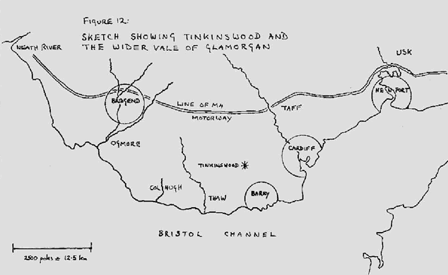
Fig 12 The ‘greater’ Vale of Glamorgan stretches between the Neath and the Usk rivers. The map also shows the position of the Col-Hugh and the Thaw rivers. Both are significant in terms of the location of the Tinkinswood Burial Cairn.
BACK TO: Home Page and Index